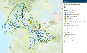
Explore our waterways on this interactive map that showcases information being used in the newly released draft Streamflow Restoration Plan (the Watershed Plan Addendum)!
CLICK HERE TO SEE MAP
 Controls to add and remove layers are available on the upper right hand corner of this web-page. Contact the Coordinator with any questions about how to use this map.
